Mt Kenya Bandas - Lake Ellis Campsite ( 3,600m) 3hrs, 9km, 700m ascent.
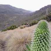
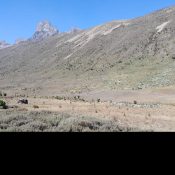
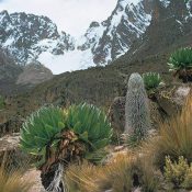
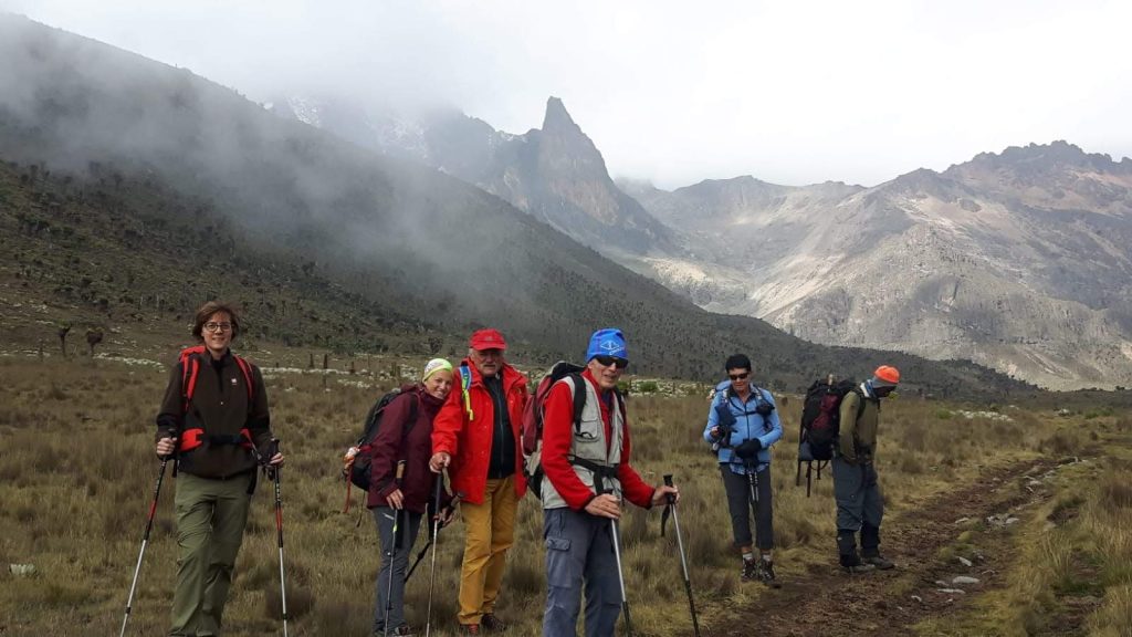
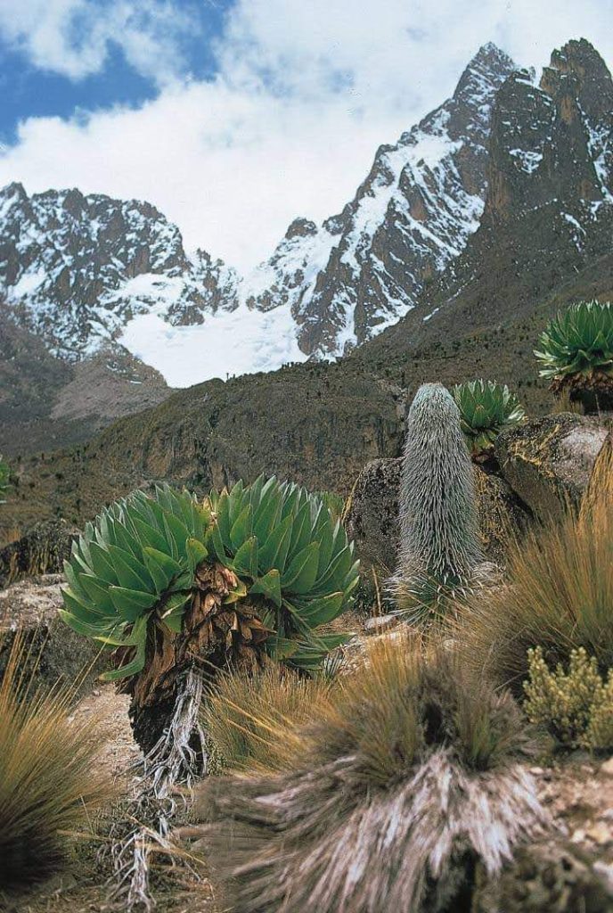
After breakfast and sorting of porter loads we set off up the mountain at a nice and easy pace A slightly longer walk via Lake Ellis gives scenic views of Mugi, Ithanguni, and the Giants Billiards Table, whilst if we follow the river near road head, upstream for about 3 km, the foreground scenery and flora is particularly beautiful.
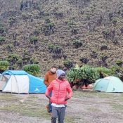
Lunch on the banks of a stream, then it's time to cut up the left-hand hillside to our camp at about 3,600m, well away from any of the more "touristy" areas.